Government Notifies Revised Length of India’s Coastline at 11,098.81 Kms — Do You Know Which State Has the Longest Coastline?

New Delhi, May 5, 2025 — The Government of India has officially updated the total length of the country’s coastline to 11,098.81 kilometers, marking a significant revision from the earlier figure of 7,516.6 kilometers that had been in use since the 1970s.
This revision comes after a comprehensive assessment conducted by the Survey of India, in collaboration with the National Hydrographic Office (NHO) and other key stakeholders, including the Indian Coast Guard, Ministry of Home Affairs, and Ministry of Earth Sciences. The update was notified by the Ministry of Ports, Shipping and Waterways through a circular dated April 29, 2025.
Why the Change?
The change stems primarily from advancements in mapping technology and methodology:
- Modern GIS tools and Electronic Navigation Charts (ENCs) were used for this re-verification, replacing older manual and low-resolution map methods.
- The revised measurement used a scale of 1:250,000, capturing finer geographic features like bays, inlets, and estuaries that earlier, smaller-scale maps had missed.
- Offshore islands and islets — totaling 1,298 (1,059 islands and 239 islets) — have now been included in the coastline calculation.
- The coastline length was measured along the High-Water Line, using 2011 base data.
State-Wise Coastline Breakdown
Here’s a look at the state-wise and union territory-wise coastline lengths as per the revised assessment:
| State/UT | Coastline Length (Km) |
|---|---|
| Gujarat | 2,340.62 |
| Tamil Nadu | 1,068.69 |
| Andhra Pradesh | 1,053.07 |
| Andaman & Nicobar Islands | 3,083.50 |
| Maharashtra | 877.97 |
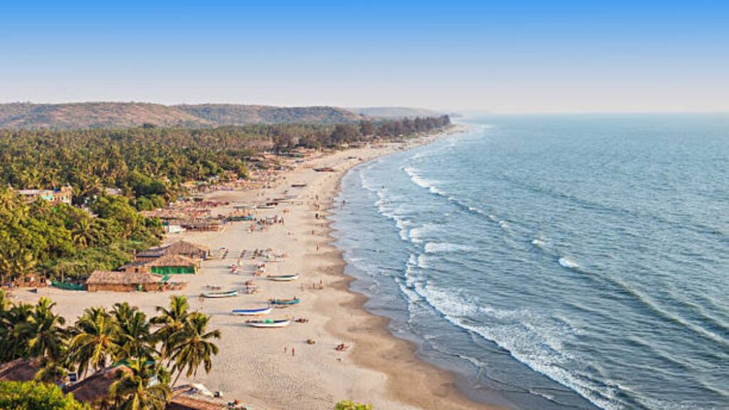
| Kerala | 600.15 |
| Odisha | 574.71 |
| West Bengal | 721.02 |
| Karnataka | 343.30 |
| Goa | 193.95 |
| Lakshadweep Islands | 144.80 |
| Daman & Diu | 54.38 |
| Pondicherry (Puducherry) | 42.65 |
With 2,340.62 km, Gujarat officially has the longest coastline among Indian states, followed by Tamil Nadu and Andhra Pradesh. The Andaman & Nicobar Islands contribute the most among union territories with a staggering 3,083.5 km.
What’s Next?
The government plans to review and update the coastline length every 10 years using the latest datasets and technology. This ensures national records remain accurate and consistent across departments, which is critical for coastal management, development planning, and national security.
The revision brings an end to decades of inconsistent coastline data used by various departments and aligns the figures with modern measurement standards.